
CAAM & Regulations
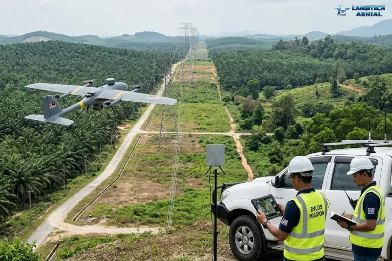
BVLOS, or Beyond Visual Line of Sight, is the operational category that unlocks commercial scale. It makes long delivery routes, 100-kilometre pipeline inspections, and large estate surveys possible without your ground crew constantly repositioning.
However, the regulations are currently the biggest hurdle for Malaysian operators. The technology itself works well. The legal framework is still maturing. So if you plan to fly beyond visual range, you need to understand how CAAM regulates this space today.
Understanding the BVLOS Rules
Start with standard VLOS (Visual Line of Sight) rules. VLOS operations require the pilot to see the drone at all times with the naked eye. You cannot rely on camera feeds or binoculars. In practice, this caps your flight radius at roughly 500 metres horizontally.
BVLOS removes that visual requirement. The drone flies kilometres beyond the pilot’s direct sight. Instead of watching it, the pilot uses onboard sensors, remote ID systems, and air traffic management tools to maintain safety. This is what enables true commercial scale. After all, you cannot deliver packages along a 5-kilometre urban route from a single fixed ground position.
Where the Regulations Stand
The Civil Aviation Authority of Malaysia (CAAM) has established a new framework for BVLOS operations. It categorises BVLOS as a “Specific” or “Certified” operation under a risk-based system. As a result, these flights face far more regulatory scrutiny than standard commercial work.
As of 2026, you need specific CAAM authorisation beyond the standard ATF permit. To get approved, your application has to demonstrate several things:
- Detect-and-avoid capability: How does your drone avoid other aircraft when the pilot cannot see it?
- Reliable control links: You must show your command signal will not drop out.
- Emergency procedures: What happens if the drone loses power over a populated area?
- Route risk assessment: You must evaluate the specific risks along your proposed route.
This is not a simple administrative form. It requires deep technical documentation. In practice, it also means using enterprise platforms built for BVLOS rather than modified consumer drones.
What Is Actually Possible Today
Full urban BVLOS remains difficult to achieve. However, three pathways are realistic for legitimate operators now.
1. Within-Estate BVLOS
Large plantation estates operate under private airspace arrangements. So you can achieve extended-range operations if you show the risk to third parties is minimal. This is not open public airspace BVLOS. Rather, CAAM treats flight within a private, strictly managed area as an acceptable risk.
2. Defined Corridor Applications
Pipeline, powerline, and railway monitoring are the most accessible BVLOS pathways in Malaysia today. First, you pre-survey the route. Next, you confirm airspace clearance. Because the route is predictable and the conflicts are assessed in advance, CAAM approves these operations more quickly.
3. Research and Sandboxed Operations
CAAM currently works with selected operators on sandboxed BVLOS trials. These closed trials are shaping what the future commercial framework will look like.
The UAS-TMS: The Digital Infrastructure Behind It
Managing drone traffic you cannot see requires digital infrastructure. This is why the upcoming UAS-TMS rollout matters.
The UAS-TMS will provide real-time tracking for active flights. It will also digitally separate drones to prevent mid-air collisions. Without that backbone, managing safe large-scale operations is not practical.
As the UAS-TMS comes online through 2026, approval pathways should become more straightforward. So operators who build compliant, properly registered businesses now will be best positioned when the market opens up.
Need Help Planning a Compliant Drone Project in Malaysia?
Speak with our team about commercial drone operations, compliance requirements, and the right aerial solution for your project.